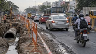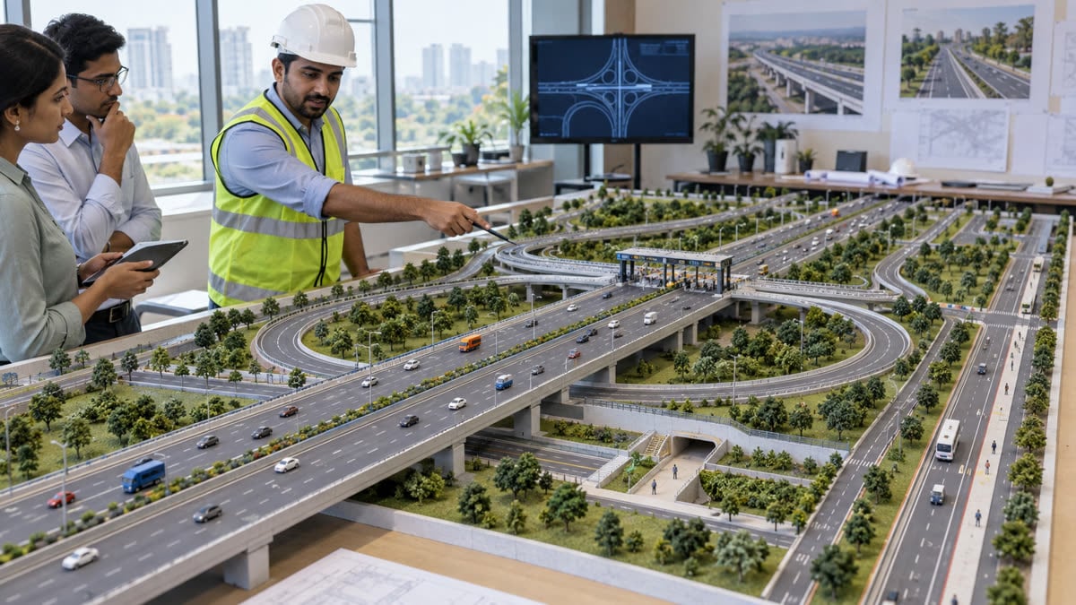
The National Highways Authority of India (NHAI) has issued new design guidelines for upcoming four- and six-lane access-controlled high-speed National Highways, covering lane sizing, ramps, exits, drainage and future multi-lane free flow (MLFF) tolling. For drivers, the immediate point is what does not change: the guidelines apply to future projects and do not alter tolls, speed limits or driving rules on existing highways.
The Ministry of Road Transport and Highways described the guidelines in a 24 Sep 2026 release as a common framework for upcoming Greenfield and Brownfield high-speed corridors other than Expressways. A separate 21 Sep 2026 PIB release set out the lane and access-control framework, while a 26 Sep 2026 Indian Express explainer detailed what the standards could mean for highway users.
Key takeaways
- The framework applies to upcoming four- and six-lane Greenfield and Brownfield access-controlled National Highways, other than Expressways.
- Lane and structure configuration will be linked to projected traffic, with corridor widths of 60 metres or 70 metres in the specified bands.
- Future corridors will use planned ramps instead of at-grade road crossings, with service roads and advance exit signs to separate local and through traffic.
- NHAI wants future high-speed corridors designed for MLFF barrierless tolling, but the announcement does not set a new toll fee or switch every existing plaza immediately.
- Drainage, water harvesting, plantations and median drip irrigation are part of the project-planning brief.
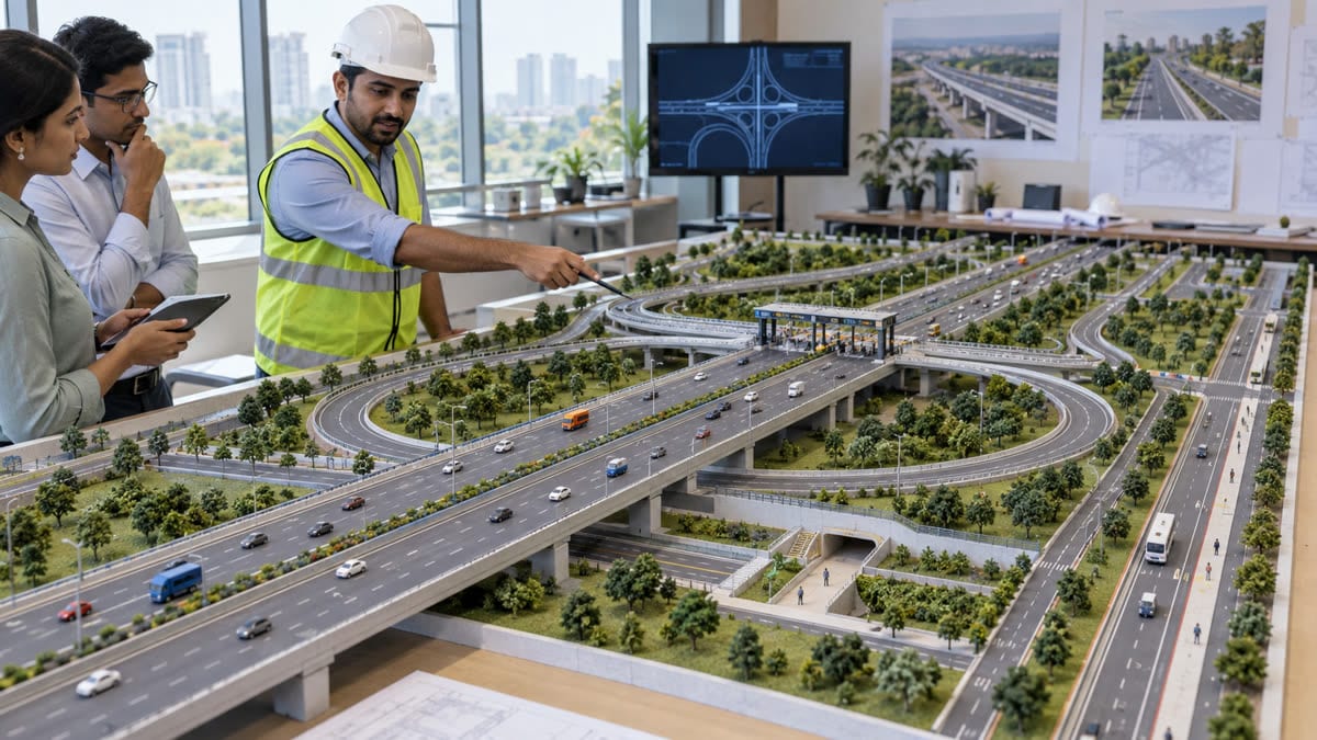 AI-generated editorial illustration of engineers reviewing an access-controlled highway and future tolling layout.
Why NHAI has introduced the framework
NHAI’s 21 Sep 2026 release says different consultants had been using varying standards while preparing Detailed Project Reports for access-controlled high-speed National Highways that are not classified as Expressways. The new guidelines are intended to create a consistent technical and safety base for these projects.
The policy is linked to the government’s long-term target of developing 50,000 km of access-controlled high-speed corridors under the Viksit Bharat 2047 roadmap. Indian Express reported that the high-speed corridor network stood at 3,052 km as of December 2025, so the target describes a large future build-out rather than an immediate change to the roads people use today. The target and the December 2025 snapshot are reported by Indian Express and Vajiram & Ravi; they should be read as planning context, not a construction guarantee.
How traffic will decide lane configuration
The guidelines tie the initial road and structure configuration to projected traffic flow. The official framework and Indian Express’s 26 Sep 2026 explainer set out three bands:
- Up to 15,000 passenger car units (PCU): a four-lane highway with four-lane structures, with a 60-metre corridor width.
- Between 15,000 and 25,000 PCU: a four-lane highway with six-lane structures, with a 70-metre corridor width.
- Between 25,000 and 40,000 PCU: a six-lane highway with six-lane structures, with a 70-metre corridor width.
Planning structures for more lanes than the initial running carriageway can leave room for future expansion without rebuilding every bridge or underpass. The traffic assessment is also meant to include existing, generated, induced and diverted traffic, along with freight growth. NHAI says toll transactions and other reliable sources will help validate these estimates.
What drivers will see on future corridors
Ramps instead of surface crossings
Access to the project highway is to be planned through properly designed ramps, with no at-grade intersection between another road and the high-speed corridor. The 21 Sep PIB release says ramps and interchanges will be used where the corridor crosses Expressways, National Highways, State Highways and important arterial roads, as well as routes serving major traffic-generating locations.
That design separates long-distance through traffic from local, access and cross traffic. The guidelines also prescribe a one-metre-high boundary wall along the outer edge of the right of way to discourage unauthorised access, encroachment and stray cattle. In built-up and urban areas, service roads on both sides with a drain-cum-footpath are part of the stated provisions.
Earlier warning for exits
Indian Express reported that full overhead direction gantries are to be placed 5 km and 2 km before an exit, while cantilever advance signs are to be placed 1 km and 500 metres before the exit. These distances are design standards for future corridors; they do not create a new instruction to change lanes at a particular point on an existing road. The practical purpose is to give drivers more time to position safely instead of making a late cross-lane move.
In areas where harvesters and tractors carrying heavy farm produce operate frequently, the underpass height may be considered at 4.50 metres. Lane markings are specified at 150 mm and edge-lane markings at 200 mm. These dimensions are construction and safety standards, not new vehicle-size limits.
What MLFF means for toll users
The 24 Sep 2026 PIB release says provisions for Multi-Lane Free Flow tolling should be incorporated into the layout of high-speed corridors. MLFF is the barrierless model in which toll collection is designed around electronic identification and vehicles do not need to queue at a conventional booth. The guideline is a design direction for future corridors, not a notification changing today’s toll rates or making every existing plaza barrierless.
When a specific corridor opens, drivers will still need to follow the project’s notified toll, vehicle-class and payment instructions. For route budgeting, use the FuelPrice toll-charge calculator and the road-trip planner alongside the official project information. A longer, wider or more access-controlled road can change route time and toll exposure, but those costs cannot be calculated from this design guideline alone.
What changes now, and what to watch
There is no immediate revision to the toll charged on an existing route, and the guidelines do not announce a new opening date for a particular highway. Their immediate effect is on the preparation and review of DPRs, technical designs and future project layouts. The 24 Sep release also brings drainage, water-harvesting structures, landscaping, plantation and median drip irrigation into project planning, which matters in flood-prone and heavily trafficked corridors.
For commuters and transport operators, the useful watchpoints are the project-specific notifications that follow: alignment, access points, service-road connectivity, construction diversions, toll schedules and the date on which a corridor actually opens. Once a route is operational, the advance signs and separated access are intended to make long-distance travel more predictable, but they do not replace lane discipline, speed compliance or attention to local traffic at interchanges.
The reader takeaway: NHAI is standardising how future high-speed National Highways are designed, with traffic-based capacity, controlled entry, better exit information and MLFF-ready toll layouts. Existing drivers should treat this as an infrastructure pipeline and design change—not as an immediate toll hike or a new rule for today’s road trip.
Sources
- Press Information Bureau / Ministry of Road Transport and Highways — NHAI Introduces New Guidelines for Design and Development of Access-Controlled High-Speed National Highways — 21 Sep 2026
- Press Information Bureau / Ministry of Road Transport and Highways — NHAI Guidelines to Strengthen Technology Integration and Sustainability in Development of High-Speed National Highway Corridors — 24 Sep 2026
- The Indian Express — Should a highway have four lanes or six lanes? Here is what NHAI’s new rules say — 26 Sep 2026
- The Times of India — No median cuts, surface intersections on future high-speed NH corridors: NHAI — 22 Sep 2026
- Vajiram & Ravi — High-Speed Corridors: NHAI’s New Rules for India’s Expressways — 26 Sep 2026