India’s expressway expansion is shortening travel times on several inter-city routes, according to a report updated by ETInfra on 11 Oct 2026. For drivers and fleet operators, the practical change is a different trip calculation: a new corridor can reduce time spent in traffic, but its toll, fuel use, access links and operating status still decide the full cost.
Key takeaways
- ETInfra’s latest roundup says several opened or partly operational corridors are cutting travel times between major Indian cities.
- MoRTH’s Bharatmala progress data recorded 26,425 km of projects awarded and 22,223 km constructed up to February 2026; the figures were also reported independently by Financial Express.
- A corridor shown as completed or under construction should not automatically be treated as open end to end. Interchanges, feeder roads and package-wise openings matter.
- Drivers should compare the time saving with the current toll, fuel use, FASTag status and route conditions before choosing the faster-looking road.
What the fresh expressway report says
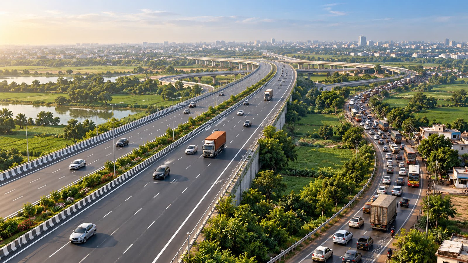
ETInfra’s report, updated on 11 Oct 2026, describes a nationwide highway build-out that is reducing journey times on some inter-city links by half or more, citing National Highways Authority of India data. It lists the Delhi–Meerut Expressway, Delhi–Dehradun Expressway, Dwarka Expressway, Bengaluru–Mysuru Expressway and Ahmedabad–Dholera Expressway among the corridors that have changed road travel for motorists.
The same report places the Delhi–Mumbai Expressway, Delhi–Amritsar–Katra Corridor and Amritsar–Jamnagar Economic Corridor in the wider group of corridors that are under construction or partly operational. That distinction matters for a trip planner: a project can be important to a route without every package, interchange or connecting road being open to ordinary traffic.
The build-out behind the shorter trip
The scale of the programme is visible in the government’s Bharatmala figures. In a written answer dated 11 Mar 2026, the Ministry of Road Transport and Highways said Phase I had been approved for 34,800 km, with 26,425 km awarded and 22,223 km constructed up to February 2026. Financial Express reported the same progress in its 8 Jun 2026 infrastructure review, and ETInfra’s 11 Oct roundup also carries those figures.
MoRTH’s separate highway-status release from 22 Jul 2026 publishes completed, under-construction and total-awarded lengths in separate columns. For readers, that is a useful caution against treating an award, a construction milestone and an end-to-end opening as the same event. The live benefit of a corridor depends on which section is usable on the day of travel and how well it connects to the roads at either end.
What changes for a driver’s trip budget
Shorter travel time does not automatically mean a cheaper journey. An expressway may reduce slow-moving traffic and idling, yet its user fee, a longer approach to an interchange or a detour to reach the entry point can alter the final cost. The sensible comparison is the complete trip, not only the headline time shown in a launch or infrastructure report.
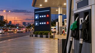
For a private car or two-wheeler, start with the fuel cost calculator using the actual distance, vehicle mileage and current fuel price. Then compare the route’s fee through the toll-charge calculator. The result is an estimate, not a promise of a particular saving, because traffic, speed, stops and the selected entry and exit points can change real-world consumption.
If the route is part of a longer holiday, delivery run or family journey, the road-trip planner can help put fuel, tolls, stops and travel time in one view. That is especially important when a new expressway shortens the main leg but leaves a slower urban approach at either end.
FASTag and opening-status checks
Confirm the usable section
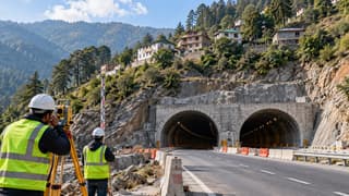
Check the latest authority or route advisory to see whether the section you need is operational, partially open or still being built. A map line or project announcement is not enough evidence that every interchange is available. Construction activity can also change access, lane movement and the time needed to reach a toll point.
Check the payment and vehicle class
Before leaving, confirm that the FASTag is linked to the vehicle, has adequate balance and is being used for the correct vehicle class. Also check the current user-fee information for the plaza or corridor. A route that is quicker but carries a higher fee may make sense for a time-sensitive trip, while a lower-cost alternative may be preferable for a flexible journey; the choice depends on the reader’s priorities.
Allow for the last mile
Expressways do not remove local traffic from the whole journey. Entry roads, city exits, service lanes, construction zones and weather can still determine the final arrival time. Keep a practical fuel margin and use current traffic information rather than assuming that the best-case corridor time will apply from door to door.
Why fleet operators are watching
For freight and passenger operators, a more predictable corridor can be valuable even when the toll is not the lowest option. Fewer stop-and-go sections can make driver scheduling, delivery windows and rest planning easier. But operators still need to compare the fee structure with payload, route length, axle or vehicle class, fuel consumption and the availability of safe stopping points.
The network’s expansion also changes route choice rather than eliminating the need for route management. A truck may benefit from an access-controlled link while a local delivery vehicle needs a different entry point. The useful decision is therefore corridor-specific: check the actual road, fee and operating restrictions for the vehicle and trip being planned.
What to watch next
The next meaningful updates will be the opening of remaining packages, the quality of connecting roads, final interchange access, toll notifications and the safety performance of the new corridors. Those details will determine whether the reported time savings translate into a smoother door-to-door journey for ordinary motorists and a more dependable route for fleets.
The reader takeaway is straightforward: India’s expressway network is giving many journeys a faster option, but speed is only one part of the calculation. Check the usable route, toll and FASTag position, then compare the full fuel-and-time budget before setting out.
Sources
- ETInfra — “India’s expressway boom: How new corridors are cutting travel time across major cities” — 11 Oct 2026.
- Ministry of Road Transport and Highways/PIB — “Construction of National High-Speed Corridors and Greenfield Expressways” — 22 Jul 2026.
- Rajya Sabha/MoRTH — “Progress under Bharatmala Pariyojana”, written answer — 11 Mar 2026.
- Financial Express — “India’s infra tender pipeline surges 66% to 18-month high: L&T emerges top contractor” — 8 Jun 2026.