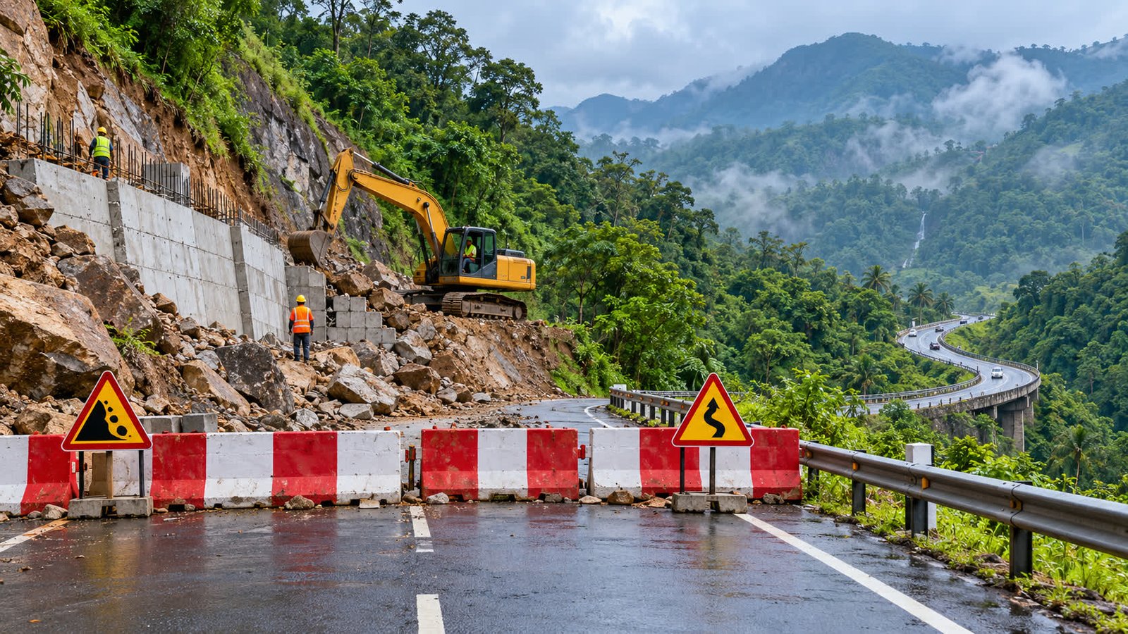
Traffic on the Second Mile stretch of NH 85 between Adimali and Munnar in Kerala will remain completely closed for another two weeks from 24 Oct 2026, after a landslide and boulder fall during highway work. The extension means drivers heading between the two towns must follow the notified Anachal–Iruttukanam diversions; the road will reopen only after safety work and a technical inspection.
+ +Key takeaways
+-
+
- The complete traffic ban on the affected NH 85 stretch has been extended for another two weeks, according to reports citing the Idukki district collector. +
- NHAI says controlled rock removal and related safety work will take at least two weeks. +
- A new concrete retaining wall is planned at the site, reported at 8–9 metres high and 10–30 metres long. +
- Munnar–Adimali traffic is being diverted through Anachal and Iruttukanam; vehicles bound for Mankulam should use Kallar Junction. +
- There is no confirmed reopening date. Traffic can resume only after the road is made safe and a technical committee clears it. +
What changed on NH 85
+The Times of India reported on 24 Oct 2026 that the complete ban on the Second Mile section of the Kochi–Dhanushkodi National Highway had been extended by another two weeks. The restriction affects the Adimali–Munnar route, a key approach for local commuters, tourists and goods vehicles travelling through Idukki.
+ +The closure began after a large boulder came down while earth and rock were being removed for national highway construction work. Further mudslides during the removal of unstable rocks and trees damaged the road’s retaining wall, leaving the site unsafe for normal traffic. This is therefore a full closure of the affected stretch, not a temporary lane reduction or a warning to drive slowly through the work zone.
+ +Samakalika Malayalam said the extension was communicated by Idukki district collector Dineshan Cheruvath after an expert inspection. Both the collector’s direction and the reports from NHAI point to safety work continuing before the road can be considered for reopening.
+ +Alternate routes for drivers
+Munnar to Adimali
+Vehicles travelling from Munnar towards Adimali should turn away from the Second Mile section and use Anachal and Iruttukanam before continuing to Adimali. Drivers should follow the signs and instructions of local police and road officials at the diversion points.
+ +Adimali to Munnar
+Traffic travelling in the opposite direction should go from Iruttukanam via Anachal, reach the Second Mile side and then continue towards Munnar only where the route is open. The same corridor should not be treated as a bypass through the closed work zone.
+ +Vehicles heading towards Mankulam
+Vehicles bound for Mankulam have been directed to travel from Iruttukanam to Kallar Junction and then turn towards Mankulam. Because the diversion passes through hilly roads, drivers should allow for changing weather, local congestion and reduced visibility rather than assuming the normal NH 85 travel time.
+ +Why the work will take two weeks
+Reports say the technical assessment calls for a new concrete retaining wall measuring about 8–9 metres in height and 10–30 metres in length. NHAI has also indicated that controlled blasting and removal of the large rocks will be needed. The two-week estimate is a work period, not a promise that the road will reopen automatically on the last day.
+ +The district administration has directed the NHAI project director to complete the safety work on a priority basis. Barricades, warning boards and night-time safety arrangements are to be maintained for workers and road users. The order also calls for scientific bench cutting or slope-based cutting instead of simply cutting vertically into the hillside, a measure intended to reduce the risk of another slope failure during the work.
+ +What the closure means for trip planning
+The biggest practical change is uncertainty around time and fuel use. The reports do not provide one fixed extra distance for every traveller, because the effect depends on the starting point, destination and the diversion selected. A private car travelling between Kochi-side towns and Munnar, a taxi serving tourists and a goods vehicle heading towards Mankulam may all face different route changes.
+ +Before leaving, compare the planned journey and the notified detour in the FuelPrice road-trip planner. Once the revised distance is known, the fuel cost calculator can help estimate the trip budget using the vehicle’s own mileage rather than a generic assumption. Check the latest rates on the live fuel prices page before refuelling, and keep a buffer for weather or traffic changes on the hill roads.
+ +Driver checklist until the road reopens
+-
+
- Check the closure and diversion status on the day of travel; do not rely on an old map route or an earlier reopening message. +
- Keep the Anachal–Iruttukanam and Kallar Junction alternatives available, but follow any new police direction at the site. +
- Start with enough fuel for the revised journey and possible waiting time, especially if travelling during rain or after dark. +
- Do not cross barricades or enter the work area. The road is closed until a technical committee confirms that it is safe. +
What happens next
+The next confirmed milestone is completion of the rock-removal and retaining-wall safety work, followed by an expert technical inspection. Until that inspection clears the route, the two-week extension should be treated as a minimum closure period. Any reopening announcement should come from the district administration or the road authorities, rather than from an assumed date based only on the work estimate.
+ +Hero image: Representative illustration of a blocked mountain highway; it is not a photograph of NH 85.
+ +Sources
+-
+
- The Times of India — “Traffic ban on Kochi-Dhanushkodi NH extended by two weeks” (24 Oct 2026) +
- Samakalika Malayalam — “Kochi–Dhanushkodi highway traffic ban extended; Adimali–Munnar alternative routes listed” (24 Oct 2026) +
- Onmanorama — “Traffic banned on Adimali-Munnar route after boulder collapse; vehicle diversions in force” (20 Oct 2026) +