NHAI is reported to have prepared a four-package plan for a proposed Amaravati Outer Ring Road (ORR) in Andhra Pradesh, with a total construction length of 195.13 km and an estimated project cost of ₹30,491 crore. If approvals and land work progress, it could give long-distance trucks and other through traffic an alternative to congested Vijayawada and Guntur roads; it is not an operational route yet.
Key takeaways
- The reported plan combines a 189.93-km six-lane ORR with a 5.2-km four-lane spur near Guntur.
- The latest reports put the overall project estimate at ₹30,491 crore, including civil work, land acquisition and other components.
- Four construction packages are expected to include three tunnels and two major Krishna River bridges.
- No toll rate, opening date or immediate traffic diversion has been announced in the reports reviewed.
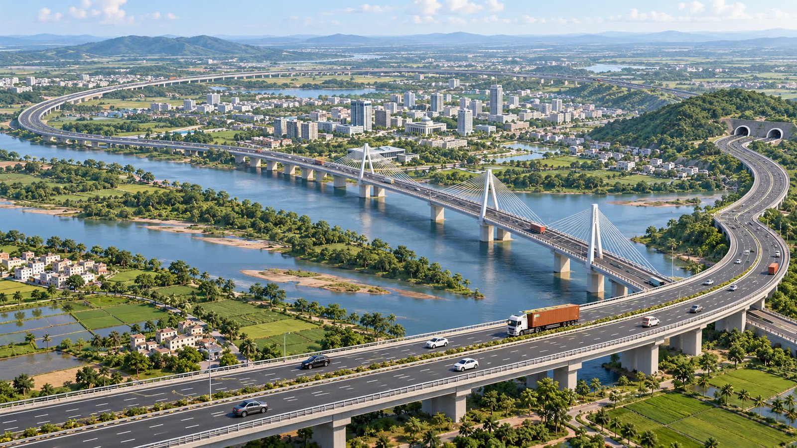
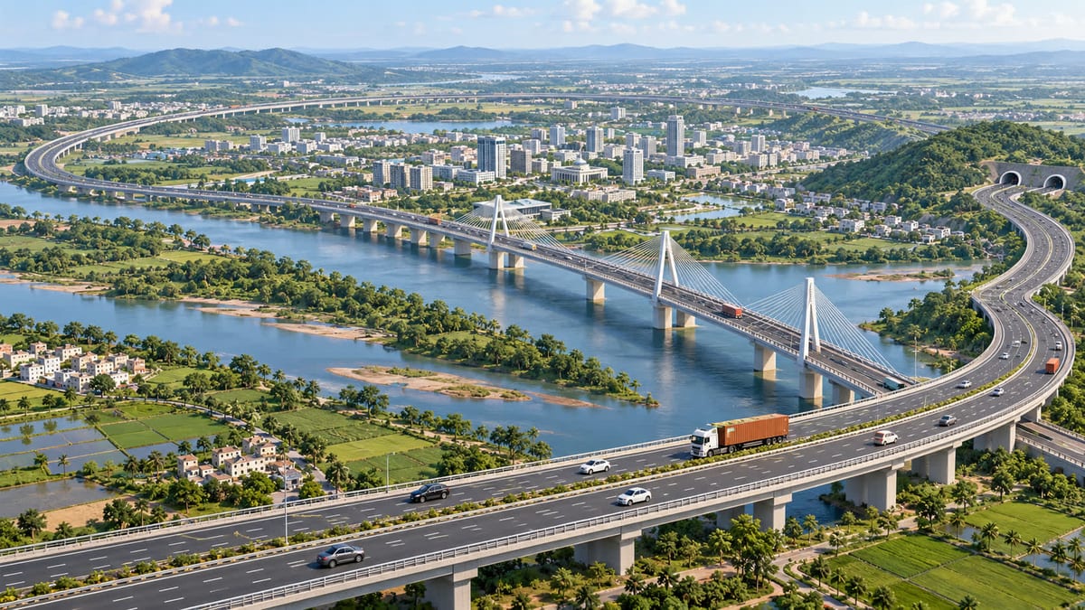 Illustrative rendering of a proposed ring-road corridor; not an official project photograph or map. Credit: FuelPrice editorial illustration.
What has been reported
The Economic Times reported on 1 Oct 2026 that the National Highways Authority of India is preparing a four-package blueprint for the proposed corridor. Its report puts the core road at nearly 190 km and the total construction length at 195.13 km after adding a 5.2-km spur between Nara Koduru and Budampadu near Guntur.
The Hans India reported on 28 Sep 2026 that the 195.13-km corridor is being restructured into four packages, with land acquisition progressing. It described the main ORR as a 189.93-km, six-lane, access-controlled road and the Guntur spur as four lanes. The two reports independently carry the same overall project estimate of ₹30,491 crore.
The project is still a proposal, not a newly opened highway. In its February 2026 project description, the Ministry of Road Transport and Highways said the 189.93-km Amaravati ORR had been proposed as a greenfield route to decongest Vijayawada, Guntur and Tenali and improve regional connectivity. The MoRTH project description also says the corridor is expected to connect with major freight and multimodal links.
Project numbers at a glance
| Item | Reported detail | What it means |
|---|---|---|
| Core ORR | 189.93 km | Six-lane, access-controlled greenfield corridor |
| Guntur spur | 5.2 km | Four-lane Nara Koduru–Budampadu connection |
| Total construction length | 195.13 km | Core ORR plus the spur |
| Overall estimate | ₹30,491 crore | Project cost including non-civil components |
| Civil works estimate | ₹10,595.70 crore | Reported construction component |
| Structure plan | Four packages, three tunnels, two Krishna bridges | Phased construction with major crossings |
The different length figures are not a contradiction: 189.93 km refers to the main ring road, while 195.13 km includes the additional 5.2-km spur. These are estimates, so the final cost and scope can change as land, environmental, forest and utility requirements are settled.
What the plan could mean for drivers and fleets
Heavy traffic may get an alternative
The main practical purpose is to move long-distance and freight traffic around the urban core rather than through busy Vijayawada and Guntur routes. For truck operators, an access-controlled bypass could eventually make route planning more predictable, especially where city traffic creates stop-start running and delays. The change would matter only after construction, connections and operating rules are completed.
MoRTH’s February description says the project is expected to reduce travel time by 30–40% and lower fuel consumption. That is an official project expectation, not a guaranteed saving for every trip. Fleet managers can use the fuel cost calculator to compare a possible future route only after the final alignment, distance and fuel price are known.
Private motorists should not expect an immediate route change
For car and two-wheeler users, the proposal does not alter today’s road access, fuel prices or toll charges. There is no announced opening date in the current reports, and the final interchange locations will determine whether the road is useful for a particular local or inter-city journey. Until then, existing routes remain the relevant basis for trip planning.
Toll details are still pending
The reports reviewed do not announce the user-fee structure, toll plazas or pass rules for the proposed ORR. Once a fee notification is issued, users will need to check vehicle category, single-journey and return rates, and any local or monthly-pass provisions. FuelPrice’s toll-charge calculator hub can help with that follow-up when the corridor becomes operational and its official rates are available.
What changes now—and what to watch next
Nothing changes for motorists on the ground today. This is a planning and execution update, not a traffic advisory. The next milestones that matter are completion of land acquisition, environmental and forest clearances, utility shifting, package-level approvals and tenders. The Hans India reported that land acquisition has been progressing and that the state has supported the project with free fly ash for construction, but those steps do not mean the route is ready for public use.
- Final alignment: watch for any change to village, interchange or spur details.
- Construction contracts: package awards and a schedule will give a clearer completion outlook.
- Toll notification: fees and pass rules will be needed before the road can be costed into a trip.
- Access points: the useful route for private motorists will depend on where the ORR connects with existing highways and the airport corridor.
Reader takeaway
Amaravati’s ORR is a large proposed logistics corridor with a reported ₹30,491-crore estimate and 195.13-km construction footprint. Its strongest near-term value is strategic: it could separate through freight from city traffic and improve regional connectivity if the planned works are approved and completed. It is not a current toll or fuel-price change, so drivers should not alter a trip based on the announcement alone. For future route comparisons, the road-trip planner will be useful once the final road and toll details are confirmed.
Sources
- Economic Times — “NHAI’s Rs 30,491 crore Amaravati outer ring road plan: 190-km six-lane corridor, 4 construction packages, 3 tunnels and 2 Krishna bridges” — 1 Oct 2026
- The Hans India — “Rs 30,491-cr Amaravati ORR takes shape” — 28 Sep 2026
- Press Information Bureau — “Network Planning Group evaluates seven road infrastructure projects” — 4 Feb 2026