A deep depression over the southeast and southwest Bay of Bengal intensified on 15 November 2026, and the India Meteorological Department (IMD) said in its 13:00 IST bulletin on 16 November that it was likely to become a cyclonic storm on 16 November and a severe cyclonic storm on 17 November. For people driving in Tamil Nadu, Puducherry, coastal Andhra Pradesh, Telangana and Odisha, the important change is the weather window: heavy rain, gusty winds, poor visibility and possible waterlogging could make road trips slower and less predictable over the next few days.
The forecast is not a confirmed landfall notice or a blanket road-closure order. The IMD is tracking the system towards the Andhra Pradesh coast, but district administrations and traffic authorities will issue the route-specific instructions that drivers should follow.
Key takeaways
- The system was centred about 720 km east-southeast of Chennai, 820 km south-southeast of Visakhapatnam and 940 km south of Gopalpur at 08:30 IST on 16 November, according to the IMD.
- Very heavy rain is likely at isolated places in Tamil Nadu, Puducherry and Karaikal on 18-19 November, in coastal Andhra Pradesh and Yanam on 19-20 November, and in Odisha on 19-21 November.
- Along the Andhra coast, the IMD expects winds to build to 120-130 kmph, gusting up to 145 kmph, from the night of 19 November to the afternoon of 20 November.
- Drivers should check district warnings and local road advisories shortly before departure, especially for coastal and low-lying routes.
What the IMD forecast says
The IMD's latest bulletin placed the deep depression near latitude 11.0 degrees north and longitude 86.5 degrees east at 08:30 IST on 16 November. It said the system was likely to move north-northwestwards, strengthen into a cyclonic storm over the central parts of the south and adjoining west-central Bay of Bengal on 16 November, and become a severe cyclonic storm over the west-central Bay of Bengal on 17 November. The bulletin then tracks it towards the west-central Bay near the Andhra Pradesh coast around the night of 19 November, where it could intensify further. That is a forecast track, not a confirmed landfall location.
The rainfall risk builds in stages. Tamil Nadu, Puducherry and Karaikal are forecast to receive isolated very heavy rain on 18-19 November. Coastal Andhra Pradesh and Yanam are forecast to see widespread rain on 19-20 November, with isolated extremely heavy rain. Odisha is expected to see isolated heavy rain on 18 November and isolated very heavy rain on 19-21 November. Telangana is also in the wider rainfall outlook for 20-22 November.
Wind conditions matter for road users as much as rainfall. The IMD expects gusts of 40-50 kmph, reaching 60 kmph, along the north Tamil Nadu and Puducherry coasts until 18 November. Along the Andhra Pradesh and Yanam coasts, winds could reach 120-130 kmph with gusts up to 145 kmph from the night of 19 November to the afternoon of 20 November. Odisha's coastal winds are forecast to reach 50-60 kmph, gusting up to 70 kmph, on 19-20 November.
Why this matters for drivers and operators
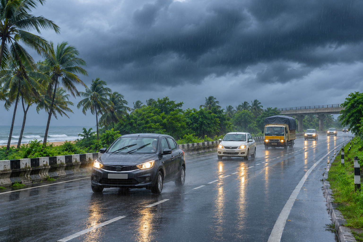
For a private car or two-wheeler, the first impact may be a longer trip rather than a formal closure. Heavy rain reduces visibility, standing water can slow traffic at underpasses and junctions, and gusty conditions can make exposed bridges, coastal roads and routes lined with trees more difficult to use. A route that is normally comfortable in daylight may require a larger time buffer or a safer alternative once a district warning is raised.
For taxis, delivery riders and freight operators, delays can also alter the economics of a run. Stop-start traffic, detours and longer idling periods can lift fuel use even when the distance is unchanged. Before leaving, use the fuel cost calculator for the planned trip and rerun it if the route changes. The result is an estimate, not a promise, because traffic, payload, tyre condition and driving style affect actual consumption.
Toll users should also distinguish a weather warning from a toll-plaza status update. A highway may remain open while a local approach road, underpass or service road becomes difficult to use. Check the latest authority or traffic-police notice before committing to a long corridor, then compare the revised route in the toll-charge calculator. Keep the FASTag account funded for an alternate route, but do not assume a toll waiver or closure unless the responsible authority announces one.
Drivers planning an inter-city journey can use the road-trip planner to review stops and timing, while EV users should check the state-wise EV charging directory before leaving a coastal or rain-affected stretch. Charging or fuel stops should be treated as route-planning points, not as a substitute for checking local warnings.
What to check before leaving
- Read the latest IMD district warning for the origin, destination and main alternate route. The state-level headline can hide very different conditions between districts.
- Check traffic-police, highway and district-administration updates for waterlogging, diversions, bridge restrictions or temporary closures.
- Inspect tyres, wipers, lights and brakes; carry a charged phone and avoid starting a long journey with an almost-empty tank or battery.
- Do not enter a flooded underpass or drive around a barricade. If visibility drops sharply, slow down and stop only at a safe, lawful location away from trees, loose hoardings and exposed roadside structures.
- Fleet operators should keep customers informed about revised arrival windows and avoid scheduling a tight turnaround through the forecast peak.
What to watch next
The next IMD bulletins will clarify the system's track, intensity and district-level rainfall and wind warnings. The latest independent reporting by Mint said Odisha had put districts on alert and noted the possibility of localised road flooding, underpass closures and waterlogging in affected belts. Those are potential impacts, not a confirmation that a particular national highway or toll plaza is closed.
For now, the practical takeaway is to plan around the forecast window rather than the storm label. If travel is necessary, check conditions immediately before departure, keep an alternate route and time buffer, and follow the latest instruction from local authorities. Recheck the plan as the system moves, because a forecast several days ahead can change.
Sources
- India Meteorological Department — “Press Release: Deep Depression over southeast & adjoining southwest Bay of Bengal” — 16 Nov 2026
- Mint — “IMD weather update: Andhra, Odisha on high alert as third cyclone brews over Bay of Bengal in 3 weeks” — 16 Nov 2026
- Hindustan Times — “Cyclonic storm likely over Bay of Bengal by November 16; Odisha on heavy rain alert” — 14 Nov 2026