NHAI has deployed emergency crews and machinery across national highways in Andhra Pradesh after Cyclone Arnab, clearing 149 fallen trees and starting temporary work on about 1,350 potholes. The update matters to drivers and freight operators because waterlogging is still reported at multiple locations on NH-16 and NH-516C, so a route that is open can still be slow or difficult to pass.
The operation covers cyclone-hit stretches between Eluru and Srikakulam. The figures come from NHAI updates reported by UNI on 28 Oct 2026 and The New Indian Express on 29 Oct 2026; they describe work in progress, not a blanket all-clear for every road in coastal Andhra.
Key takeaways
- NHAI has deployed route-patrol vehicles, ambulances, cranes, JCBs, dumpers and 24 Quick Response Teams between Eluru and Srikakulam.
- Field crews reported 149 fallen trees cleared, including 75 on the Siddhantham–Anakapalli and adjoining stretches and 74 across North Coastal Andhra, plus one fallen electric pole.
- Temporary rectification has begun for approximately 1,350 identified potholes, while waterlogging remains at multiple locations on NH-16 and NH-516C.
- This is a restoration update rather than a blanket all-clear; drivers should follow local advisories and avoid stopping beneath trees or vulnerable roadside structures.
What NHAI has cleared since the cyclone
UNI reported on 28 Oct 2026 that NHAI had placed 32 route-patrolling vehicles, 31 ambulances, 35 cranes or tow-away vehicles, 47 JCBs, 25 chain or power saws, 45 dumpers and 24 Quick Response Teams in cyclone-affected areas. The New Indian Express reported the same deployment on 29 Oct 2026, saying the teams were working with district administrations and highway maintenance agencies.
The scale of the deployment shows why the road update is relevant beyond a weather bulletin. Route patrols can identify new obstructions, ambulances and tow-away vehicles help keep incidents from becoming longer blockages, and JCBs, saws and dumpers are the equipment needed to remove trees, clear debris and reopen shoulders or lanes. The reported operation is spread across the national-highway corridor from Eluru to Srikakulam rather than being limited to one urban junction.
According to both reports, crews had cleared 149 fallen trees by the time of the updates. The breakdown was 75 trees on the Siddhantham–Anakapalli and adjoining reported stretches and 74 across North Coastal Andhra. One fallen electric pole was also cleared. These are reported clearance figures as of the 28–29 Oct 2026 updates, not a forecast of how much more work remains.
Why NH-16 and NH-516C still need caution
The immediate problem is not only fallen trees. NHAI said waterlogging had been reported at multiple locations on NH-16 and NH-516C, including carriageways, service roads and underpasses. Heavy rain, overflowing drains and standing water can slow traffic even when the main carriageway has not been formally closed.
To address that, field teams were using JCBs, dewatering pumps and manual labour for water removal and drainage clearance. Temporary earthen drains were also cut at identified locations to help move stagnant water towards nearby water bodies. This work can improve passability, but temporary drainage and patching should not be read as a final repair or a promise that every low-lying point is clear.
NHAI also reported that temporary rectification work had begun on approximately 1,350 identified potholes. For a driver, that distinction matters: a temporary patch can reduce an immediate hazard, while a permanent resurfacing or structural repair may require a later work window after the water recedes and the pavement is assessed.
What this means for drivers and fleets
Plan for variable travel times
Drivers heading through coastal Andhra should plan for changing conditions rather than relying on a single earlier route status. A road may be open but still have a waterlogged underpass, a narrowed shoulder, a slow clearance zone or a diversion near active machinery. Readers arranging a longer journey can use the road-trip planner to organise the route, then confirm current district and highway advisories before departure.
Check the cost of a detour
If a flood pocket or clearance operation adds distance, the extra cost depends on the vehicle, fuel type, traffic speed and time spent idling. The fuel cost calculator can help estimate the fuel effect of an alternate route, but it cannot predict temporary congestion or a closure. That is why the route decision should be based on the latest road information rather than on distance alone.
Keep away from clearance zones
NHAI has advised commuters to exercise caution and avoid parking or standing beneath trees and vulnerable roadside structures. That is especially important after strong winds, when branches, poles and weakened roadside trees can remain unsafe even after a lane has reopened. Drivers should slow down near cones, work vehicles and water-removal equipment, and should not stop on a shoulder that is being used by emergency crews.
Reconfirm freight schedules
Fleet operators moving goods between the Eluru, coastal Andhra and Srikakulam sides should treat delivery windows as provisional until the route is checked close to departure. A short obstruction can create a longer delay when tankers, buses or heavy vehicles have limited safe turning options. If an alternate tolled route is being considered, compare the revised journey through the toll-charge calculator as well as the fuel and time impact.
Why the response is a follow-up, not a repeat of the earlier alert
FuelPrice’s earlier Cyclone Arnab road-travel alert covered the pre-landfall risk to Andhra Pradesh and Odisha routes. This update is materially different: it records the post-landfall NHAI response, the clearance completed so far and the sections where waterlogging and pothole work remain active.
The Centre’s 26 Oct 2026 preparedness briefing, available in the PIB release on Cyclone Arnab preparedness, said agencies were preparing to restore essential services quickly if infrastructure was damaged. AP’s disaster-management system continues to carry the official cyclone and impact context, while AP reporting confirms that the storm caused road and infrastructure damage before weakening after landfall on 28 Oct 2026.
What to watch next
- Whether NHAI issues a later status confirming that waterlogging has receded on the affected NH-16 and NH-516C points.
- Whether the approximately 1,350 pothole locations receive permanent repairs after temporary rectification.
- Whether district administrations publish route-specific restrictions, diversions or safe-travel windows for heavy vehicles.
- Whether NHAI reports that the emergency machinery has been withdrawn or redeployed after vulnerable locations stabilise.
Reader takeaway
NHAI’s response gives drivers a useful sign that major obstructions are being actively addressed, but it does not remove the need for a live route check. The practical position on 29 Oct 2026 is that crews have cleared 149 trees and started temporary pothole and drainage work, while some waterlogged locations remain under monitoring. Plan for extra time, keep away from clearance zones and verify the latest local advisory before entering the affected stretches.
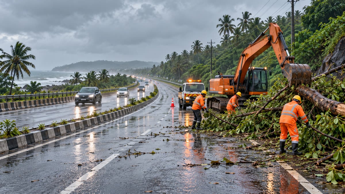
Image note: AI-generated editorial illustration of a representative post-storm highway-clearance scene; it is not a photograph of the reported Andhra Pradesh operation.
Sources
- The New Indian Express: “NHAI deploys emergency teams to restore damaged highway stretches in Andhra Pradesh” — 29 Oct 2026
- UNI: “AP: NHAI deploys patrolling vehicles, JCBs, dumpers to clear traffic on NHs” — 28 Oct 2026
- Press Information Bureau: “Cabinet Secretary chairs a meeting of National Crisis Management Committee to review preparedness for the impending cyclone in Bay of Bengal” — 26 Oct 2026
- AP News: “Cyclone Arnab kills 3 in India, damages homes and farmland” — 28 Oct 2026