The National Highways Authority of India (NHAI) has issued new guidelines for the planning and design of upcoming access-controlled high-speed National Highways, excluding expressways. Released on 21 Sep 2026, the framework sets traffic-based road widths, standardises lane and structure choices, and adds access-control measures intended to make future long-distance journeys more predictable and safer.
Key takeaways
- The framework applies to upcoming four- and six-lane greenfield and brownfield high-speed access-controlled National Highways other than expressways.
- Under the 21 Sep 2026 guidelines, planned corridor widths range from 60 metres to 70 metres based on expected traffic and the lane configuration.
- Ramp-based interchanges are planned at important crossings and links to ports, airports, logistics parks, industrial areas and major tourist destinations.
- Advance entry and exit notifications and a 1-metre-high boundary wall are part of the access-control design.
- This is a planning and design framework, not a new toll fee or an immediate change to an existing route.
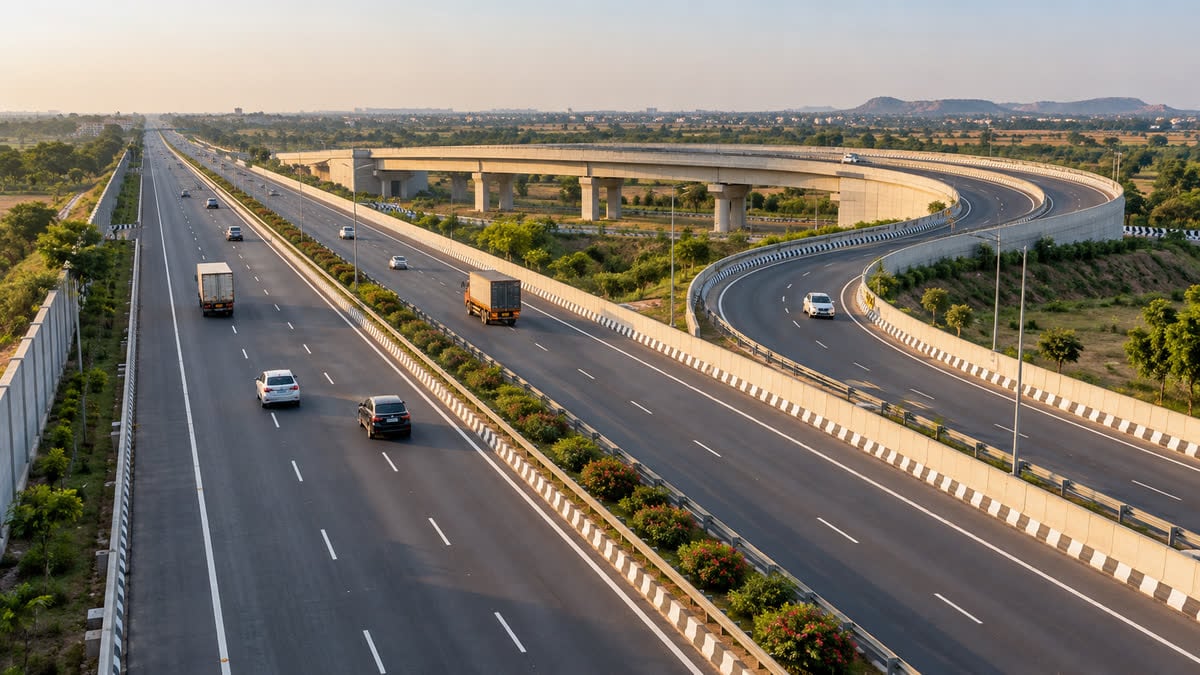
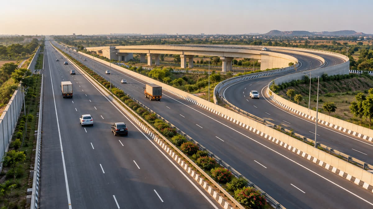 Illustrative editorial image of an access-controlled high-speed corridor. Credit: AI-generated illustration for FuelPrice, 22 Sep 2026.
What NHAI’s framework changes
NHAI said the guidelines address a gap in the planning of access-controlled National Highways that are not classified as expressways. Until now, different standards could be used while preparing Detailed Project Reports (DPRs) for such corridors. The new framework is intended to give project planners a common technical and safety baseline for upcoming four- and six-lane greenfield and brownfield highways.
The lane configuration will be linked to detailed traffic assessment rather than selected as a one-size-fits-all road template. The traffic bands and widths announced by NHAI are:
| Expected traffic flow | Road and structures | Planned corridor width |
|---|---|---|
| Up to 15,000 vehicles | Four-lane highway and four-lane structures | 60 metres |
| 15,000–25,000 vehicles | Four-lane highway and six-lane structures | 70 metres |
| 25,000–40,000 vehicles | Six-lane highway and six-lane structures | 70 metres |
The middle configuration is designed to keep bridges, flyovers and underpasses ready for six lanes even where the traffic carriageway initially has four lanes. That can reduce the need for disruptive structural expansion later, although the final effect will depend on each project’s land, funding, construction and maintenance decisions.
How the design is meant to affect a trip
For drivers, the most visible difference should come from route geometry rather than from a price change. NHAI’s framework calls for ramp-based interchanges at crossings with expressways, National Highways, State Highways and important arterial roads carrying substantial traffic. It also identifies connections to ports, airports, Multi-Modal Logistics Parks, industrial areas and major tourist destinations as locations where such interchanges may be needed.
The stated objective is to keep long-distance traffic moving on the main highway without interference from local, access or cross traffic. The guidelines also provide for advance notification of entries and exits, giving motorists more time to choose lanes and prepare for a controlled turn. A 1-metre-high boundary wall along the outer edge is intended to deter unauthorised access, encroachment and the entry of stray cattle.
These are design intentions, not a guarantee that every future corridor will have the same travel time or safety outcome. Signage, enforcement, service roads, maintenance and the quality of construction will still matter to the people using the route.
What this means for tolls, fuel and freight costs
The 21 Sep 2026 release does not announce a toll revision, a new FASTag charge or a change to an existing toll plaza. Because the guidelines apply to upcoming corridors and project DPRs, the immediate effect for a driver using a current highway is limited. Any toll, access date or vehicle-class rule for a particular future corridor would have to be published separately through its project and tolling process.
Once a new corridor is opened, the practical cost question will combine tolls, distance, traffic and the vehicle’s fuel efficiency. Drivers can check toll charges and trip cost when a route is confirmed, while the fuel cost calculator can help estimate the fuel component of a long drive. Fleet operators comparing corridors can use the same inputs to separate a lower toll from a genuinely lower trip cost.
For a journey that depends on entry points, interchanges and planned stops, the road-trip planner can help organise the route after the relevant project details are available. None of these tools can replace the official toll schedule or traffic advisory for a newly opened road.
What to watch next
- Upcoming NHAI project DPRs and tender documents, which should show how the traffic bands are applied to individual corridors.
- Alignment maps, interchange locations and service-road plans, because these will determine where local traffic can join or leave the high-speed route.
- Opening dates, toll schedules and FASTag rules issued for each corridor; the national design framework does not set those details by itself.
Reader takeaway
NHAI’s 21 Sep 2026 announcement is a forward-looking infrastructure standard, not a new toll hike or a change to today’s fuel budget. For future high-speed National Highways, the important shift is the attempt to connect lane and structure capacity to traffic forecasts while making access more controlled. The benefit for drivers and freight operators will depend on how consistently the framework is carried into project design and on-road operation.
Sources
- Ministry of Road Transport & Highways, “NHAI Introduces New Guidelines for Design and Development of Access-Controlled High-Speed National Highways” — 21 Sep 2026
- The New Indian Express, “NHAI introduces new guidelines for high-speed corridors to ensure uniformity and consistency” — 21 Sep 2026
- The Times of India, “No median cuts, surface intersections on future high-speed NH corridors: NHAI” — 22 Sep 2026