A GSI rainfall-induced landslide forecast reportedly identified Burliyar among locations at risk before a fatal bus landslide on the Mettupalayam–Coonoor route on 23 Oct 2026. Reports published on 30 and 31 Oct now focus on whether the warning and earlier slope-risk findings were converted into preventive works and clear travel alerts; for drivers, the practical takeaway is to verify the live status of NH181 before starting a Nilgiris trip.
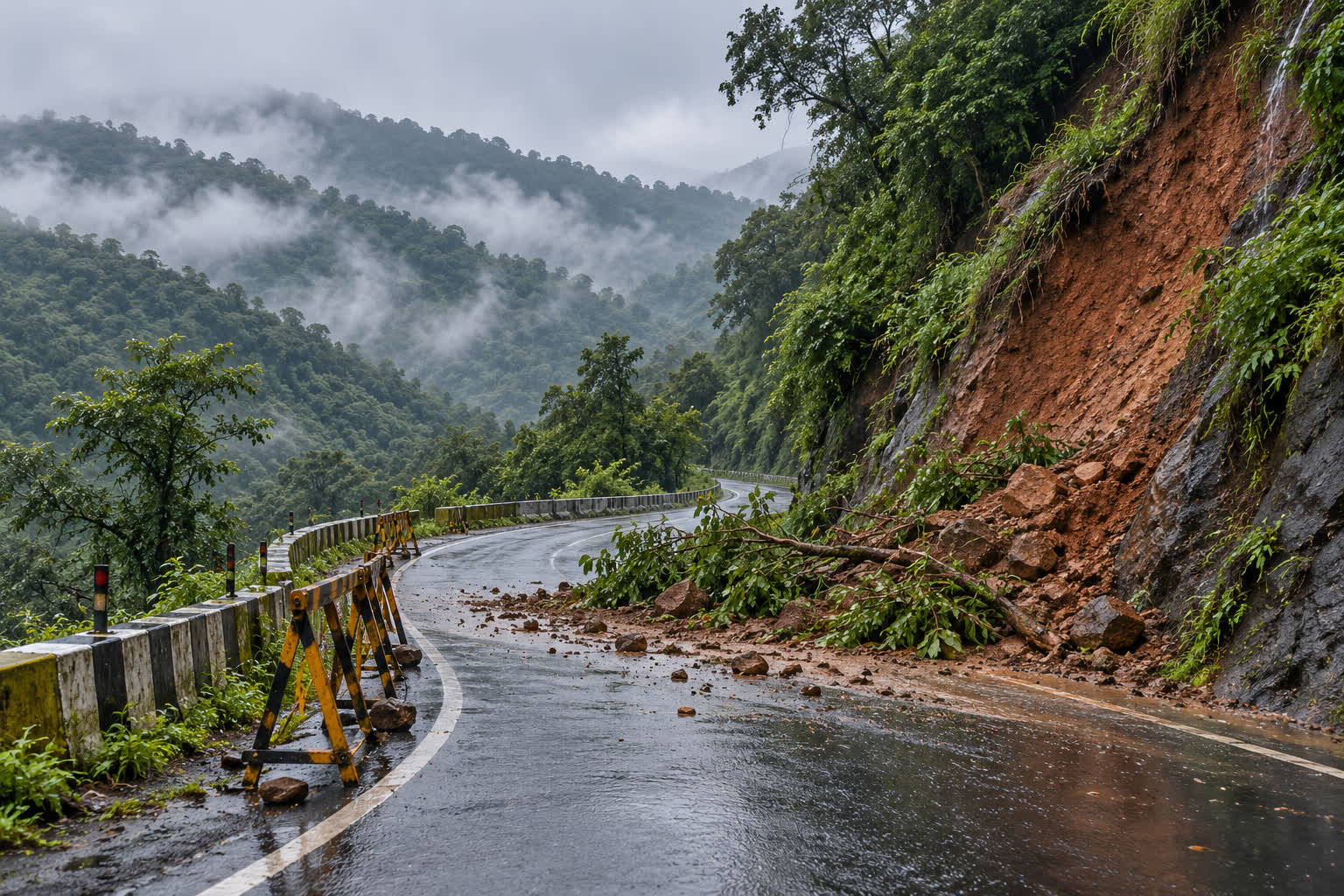
Illustration: a representative wet ghat road and slope slip; not a photograph of the Burliyar incident.
Key takeaways
- According to The New Indian Express, a GSI bulletin issued on 23 Oct flagged a moderate possibility of isolated landslides in parts of the Nilgiris before the night-time slide.
- TNIE and DT Next both refer to a roughly 5-km high-risk Burliyar stretch on NH181 and documented slope and drainage vulnerabilities.
- The slide buried a Tamil Nadu State Transport Corporation bus; its driver died and the conductor was injured, while traffic on the hill route was disrupted.
- An official response reported by TNIE described the warning as general and difficult to act on, and said precautionary work was under way along vulnerable stretches.
What the new reporting says
The warning and the risk zone
TNIE reported that the Geological Survey of India had issued a rainfall-induced landslide forecast before the Burliyar slide. The report said the bulletin identified Burliyar among locations where isolated landslides could occur and described a moderate possibility across parts of the Nilgiris. The warning was in place before the bus was buried on the Mettupalayam–Coonoor ghat road during heavy rain.
The same report said GSI material had recorded a history of slope failures along an approximately 5-km Burliyar section of National Highway 181. DT Next separately reported that an environmental organisation, Poovulagin Nanbargal, had reviewed the GSI bulletin and hazard-management maps and described the stretch as a high-risk zone. Both reports point to the same practical risk: a cut hillside, blocked drainage or water flowing below the road can turn a passable mountain corridor into a danger zone quickly.
Allegations and the official response
DT Next reported the organisation's allegation that recommended preventive measures had not been implemented at the accident site. Its account referred to slope-support works, rock bolts and anchors, boulder-catching nets, retaining walls and drainage or culvert improvements. These are allegations from an environmental organisation, not an established finding that a particular omission caused the landslide.
TNIE reported that Commissioner of Disaster Management A Sivagnanam considered the GSI warning too general to act on easily. The official also told the newspaper that ground teams were carrying out precautionary works on vulnerable stretches. That response is important because it gives the authorities' position, but it does not settle the separate question of whether the recommended engineering measures were received, prioritised or completed before the event.
The reports also raise a communication issue. DT Next said the organisation wanted daily landslide forecasts to be integrated into the TN-Alert application, while TNIE said it remained unclear whether the warning had been incorporated into public alerts. Until an official inquiry or document answers that question, the causal and accountability claims should remain attributed rather than presented as proven.
What is known about the road event
PTI reporting published by The Tribune said heavy rain triggered multiple mudslides in the Nilgiris and that a government bus was buried on the intervening night of 23–24 Oct. The driver died and the conductor was taken for treatment. The same report described widespread disruption and stranded travellers on the mountainous highway.
That account matches the basic incident described by TNIE and DT Next: the bus was caught in debris on the Mettupalayam–Coonoor corridor, the driver lost his life and the conductor survived with injuries. The later reporting is not a new toll or fuel-rule change; it is a road-safety development that can change a trip's route, duration and operating risk.
Why it matters to drivers, tourists and fleets
For a private driver, the risk is not limited to the point where a slide has already happened. A diversion can add distance and fuel use, while a route that is technically open may still have active repair work, falling rocks, standing water or a temporary movement restriction. The FuelPrice road-trip planner can help compare the planned corridor with an alternate route, but its result should be checked against same-day authority notices before departure.
For taxis, buses and goods operators, a delayed or rerouted trip affects duty hours, fuel planning and delivery commitments. Use the fuel cost calculator to estimate the cost of a longer route, and check the live fuel prices hub if the detour changes where the vehicle will refuel. Those calculations explain the likely cost of a diversion; they do not confirm whether NH181 is safe or open.
The immediate safety check is simple: look for a current district or highways advisory, confirm the permitted route, and do not cross barricades, fresh debris or flowing water. If conditions deteriorate, waiting for an official clearance is a different decision from trying to save time on a mountain road.
What to check before using NH181
- Route status: Confirm the current Coonoor–Mettupalayam position with the Nilgiris district administration, the relevant highways authority or local transport control room.
- Weather and slope alerts: Look for the latest rainfall and landslide warning, not a forwarded message from the day of the incident.
- Fallback route: Keep a route through the permitted alternative ready and allow extra time for a controlled diversion or repair-related hold.
- Roadside conditions: Treat fresh mud, loose rock, damaged drains, fallen trees and water crossing the carriageway as reasons to stop before the hazard.
What should happen next
The useful next update is documentary: whether the official inquiry publishes its findings, whether the authorities confirm receipt of the GSI warning and what preventive works were completed on the identified stretch. Drivers also need a clear process for receiving route restrictions during heavy rain. If the forecast is available to authorities but does not reach road users in time, the technical warning has not become a complete safety system.
Reader takeaway
The Burliyar development turns an isolated landslide report into a wider question about how warnings, slope engineering and travel advisories work together on NH181. The prior-warning account is reported by credible outlets, while responsibility for the incident remains unsettled. Anyone planning to use the Nilgiris hill corridor should treat same-day official route status as essential trip information and keep a diversion or delay option ready.
Sources
- The New Indian Express — “GSI had flagged Burliyar landslide risk before fatal TNSTC bus mishap” — 30 Oct 2026
- DT Next — “Burliyar landslide: NHAI, state govt failed to act on GSI warnings, say Poovulagin Nanbargal” — 31 Oct 2026
- The Tribune, PTI — “Multiple mudslides bring Nilgiris to knees; bus buried, driver killed” — 24 Oct 2026
- Geological Survey of India — “Landslide Hazard” — accessed 1 Nov 2026
- Mirror Now — “Nilgiris Tourism Resumes as Rain Eases, but Highway Repairs Continue” — 27 Oct 2026