The India Meteorological Department's latest bulletin forecasts dense fog in parts of north India and isolated heavy rain with thunderstorms in the Northeast. For drivers, riders and fleet operators, the forecast may mean slower journeys and changing road conditions on key travel days, not a blanket road closure.
Key takeaways
- IMD's 20:45 IST bulletin on 21 Nov lists dense fog as very likely at isolated places over Haryana, Chandigarh, Delhi and Punjab on 21 Nov.
- East Uttar Pradesh is forecast to see dense fog at isolated places on 22–23 Nov.
- Assam, Meghalaya, Nagaland, Manipur, Mizoram and Tripura face isolated heavy rain, thunderstorms and lightning on 21–22 Nov, with fairly widespread to widespread rain in the latter four states.
- An earlier morning bulletin, reported by United News of India, gave a slightly longer 21–22 Nov fog window for Punjab, Haryana, Chandigarh and Delhi, so travellers should check the newest local update before departure.
- IMD's forecast is a weather warning, not a confirmation of a highway closure. Route-level advisories can change conditions for a specific corridor.
What changed in the latest IMD update
The National Weather Forecasting Centre issued its All India Weather Summary and Forecast Bulletin at 20:45 IST on 21 Nov. It says dense fog is very likely over Haryana–Chandigarh–Delhi and Punjab on 21 Nov, while East Uttar Pradesh is listed for 22–23 Nov. IMD says a day's forecast is valid from 08:30 IST on that day until 08:30 IST the next day.
That timing matters for anyone setting out early on 22 Nov. UNI's report on the earlier 08:00 IST bulletin said dense fog was expected in Punjab, Haryana, Chandigarh and Delhi on both 21 and 22 Nov, with East and West Uttar Pradesh on 22–23 Nov. The difference reflects successive forecast updates rather than proof that every road in those states will be affected.
The practical takeaway is to treat the most recent bulletin and local traffic advisory as the decision point. A route can remain open while visibility is poor, journey times increase or a diversion is introduced by the road authority.
Where rain may affect road travel
In the Northeast, the latest IMD bulletin forecasts fairly widespread to widespread rainfall over Nagaland, Manipur, Mizoram and Tripura on 21–22 Nov. It also forecasts isolated heavy rainfall, thunderstorms and lightning over Assam and Meghalaya and over Nagaland, Manipur, Mizoram and Tripura during the same period. Arunachal Pradesh, Assam and Meghalaya remain in the broader scattered-rain outlook through 24 Nov.
The weather pattern is regional. The same bulletin says no significant weather is likely over West, Central and East India during the week, but that should not be read as a guarantee of clear conditions on every road. The Economic Times and UNI both reported the IMD's rain and fog outlook on 21 Nov, including the potential for slower road, rail and air travel in affected areas.
What it means for drivers, riders and fleet operators
North India: plan around visibility
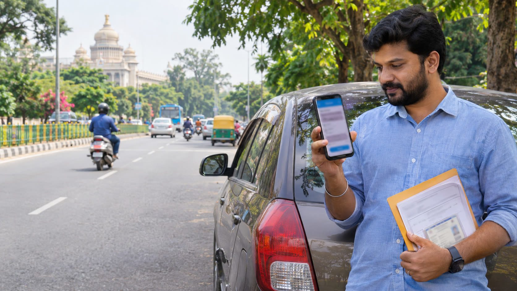
Fog can make lane markings, roadside objects and slower vehicles harder to see, particularly during early-morning departures. Drivers should reduce speed to match visibility, keep a larger following gap, use the vehicle's prescribed lighting and avoid sudden lane changes. Riders should use reflective gear and check whether their visor is clear before entering a foggy stretch.
Fleet operators can build extra time into dispatch plans and keep customers informed if a delivery window depends on a fog-prone corridor. The forecast does not justify assuming a delay of a fixed number of hours; the effect will vary by road, time and visibility.
Northeast: expect wet stretches, not a blanket closure
Heavy rain and lightning can affect visibility and surface grip, especially on hill roads and near drainage points. Before leaving, check the latest district or state traffic notice, inspect wipers and tyres, and avoid treating a weather warning as evidence that a particular route is closed.
For a multi-stop journey, the road-trip planner can help organise the route before departure. If the forecast changes the distance or driving time, enter the revised distance and vehicle efficiency in the fuel cost calculator to understand the trip's fuel requirement.
Drivers using national highways can separately check toll charges and trip costs before leaving, then compare the planned route with the latest traffic and weather advisories. Weather conditions can change the timing of a toll crossing even when the fee itself is unchanged.
What to watch next
Forecasts are updated as weather systems move. The most useful checks are the next IMD bulletin, the district warning for the departure point and any road-closure or diversion notice from the relevant highway authority. Do not rely on a previous day's screenshot when the trip starts after a new bulletin is issued.
This is a materially newer forecast update than the earlier report on the weather system's Andhra road impact. For that background, read the earlier Cyclone Akvan road-travel update, then use the latest regional warning for the route you actually plan to take.
Reader takeaway
For 21–23 Nov travel, the main risks are reduced visibility in the north and wet, stormy conditions in parts of the Northeast. Check the route shortly before leaving, allow a time buffer, and make decisions based on the latest local advisory rather than assuming that a forecast applies uniformly across an entire state.
Sources
- India Meteorological Department — All India Weather Summary and Forecast Bulletin — 21 Nov 2026, 20:45 IST
- United News of India — IMD warns of dense fog in Punjab, Haryana, Delhi; heavy rain forecast across eastern India — 21 Nov 2026
- The Economic Times — Weather today November 21: IMD forecast warns of Cyclone Akvan's impact, rain and dense fog across states — 21 Nov 2026