India is considering a phased satellite-based toll system that could charge vehicles by the distance travelled on selected national highways, with deployment on select stretches targeted around 2028, according to a Mint report published on 18 Oct 2026. The proposal matters because it could change how drivers and freight operators plan toll costs, but it is not a live replacement for FASTag.
An official Rajya Sabha reply dated 1 Apr 2026 said satellite-based user-fee collection was not operational anywhere on national highways. Existing FASTag and ANPR-based multi-lane free flow (MLFF) systems remain the active path, so there is no new toll payment rule for motorists to follow today.
Key takeaways
- The 2028–29/2028 timeline is reported planning, not an approved nationwide launch date. Mint said select stretches are the target, subject to technical readiness.
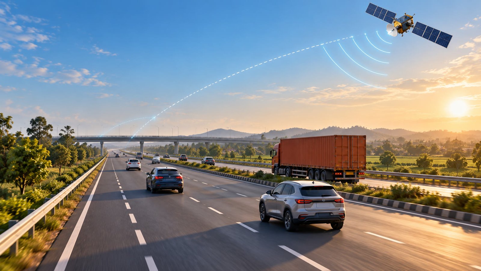
- GNSS tolling would use satellite positioning and compatible in-vehicle equipment to calculate charges by distance on designated road segments.
- FASTag is not being switched off: the government’s current barrier-free rollout uses RFID, automatic number plate recognition (ANPR) and existing FASTag.
- Tariffs, device rules, privacy safeguards, annual-pass treatment and dispute processes for any GNSS pilot have not been announced in the latest official replies.
What the proposed satellite system would change
In a distance-linked model, a vehicle’s entry and exit on a designated tolled section could determine the charge instead of a single fixed fee at a plaza. Mint reported that the proposed system would use GNSS or GPS tracking and that a driver leaving before a designated toll point could pay for only the tolled stretch used. That is a reported design direction, not a published tariff formula for India.
NHAI’s 7 Jun 2024 PIB release on a global expression of interest said GNSS-based electronic toll collection was envisaged within the existing FASTag ecosystem. It described an initial hybrid model in which RFID-based electronic toll collection and GNSS-based collection could operate together, with distance-based charging among the expected benefits. That background suggests FASTag may coexist during a pilot rather than disappear overnight.
Distance-linked does not automatically mean cheaper
A pay-by-distance system could make the bill better match the stretch actually used, but it does not guarantee a lower toll. The final outcome would depend on the tariff per kilometre, minimum charges, entry and exit rules, vehicle class, exemptions and any technology or account fee. Those details are not in the latest official replies. Until they are published, drivers can use the toll charge calculator to check the current fixed-point cost for a route.
What is live today: FASTag and MLFF
India’s current barrier-free model is MLFF, which combines RFID readers for FASTag with ANPR cameras and other roadside systems. The vehicle can pass through selected locations without stopping in a conventional toll lane, but the charge is still linked to the existing FASTag and the road operator’s tolling infrastructure. This is different from GNSS billing, which would calculate a designated stretch using satellite positioning and an onboard or account-linked system.
| System | How the trip is identified | What the driver may experience | Status |
|---|---|---|---|
| GNSS tolling | Satellite positioning plus a compatible device or account | Possible distance-linked billing on a designated highway stretch | Proposed; the 1 Apr 2026 official reply said it was not operational on any national highway |
| MLFF with FASTag | FASTag RFID plus ANPR cameras and AI-enabled tolling | Pass selected locations without stopping at a conventional booth | Being rolled out on selected corridors |
| Regular FASTag tolling | RFID reader at a fee plaza | Automatic deduction at the applicable fixed toll point | Existing system; the 22 Jul 2026 PIB release said >98% of user-fee collection used FASTag |
Why the rollout counts need careful reading
Official records describe a moving MLFF rollout rather than one final nationwide list. The Rajya Sabha reply of 1 Apr 2026 said MLFF using FASTag RFID and ANPR/AI had been awarded on 17 toll plazas and that bids for a further 108 had been invited. A 22 Jul 2026 PIB release said 17 had been awarded and bids had been invited for 104 more. Because those official counts differ by date and document, they should be treated as dated snapshots, not as a permanent live total.
The same July release said more than 98% of national-highway user-fee collection was taking place through FASTag. It also recorded the FY2026–27 FASTag Annual Pass at ₹3,075 for one year or 200 fee-plaza crossings, whichever came first. Nothing in the latest official material says that the current annual pass will automatically cover a future GNSS-based distance charge.
What it could mean for drivers and transporters
Less stopping, but not necessarily fewer payments
If a GNSS pilot works as described, a vehicle could cross a designated section without approaching a toll booth. That may reduce stop-and-go movement and make route timing more predictable. It would not remove the toll itself: the charge would move from a fixed roadside collection point to a digital calculation tied to the route.
More precise route billing
Drivers who leave a highway early, enter part-way through or use only a section could eventually see a charge linked to that distance. The exact result will depend on the notified corridor map and tariff rules. Fleet operators would also need to reconcile route records, vehicle classes, account deductions and exceptions, especially when a truck changes route or travels through areas with weak positioning.
New checks on privacy and disputes
Mint quoted experts who identified enforcement, interoperability, cybersecurity, data privacy, geofencing and grievance redressal as conditions for a wider rollout. Tunnels, mountains, dense urban areas, device failures and incorrect entry or exit records could all create billing disputes. Any pilot would therefore need a clear notice, evidence, correction and refund process before drivers can treat the system as routine.
For a longer journey, the road-trip planner can help compare route distance and stops while the existing toll system remains in place. That comparison matters because a future distance-linked tariff could change the cost balance between a tolled expressway and a slower alternative, but there is no official tariff to model yet.
Why FASTag users should not change anything today
There is no official instruction for motorists to replace a working FASTag, fit a satellite device or enrol in a GNSS account. Keep checking the existing tag balance and transaction history through the normal issuer channels; the FASTag balance, status and recharge guide covers those current checks. The latest proposal is a future infrastructure plan, not a present-day compliance deadline.
Before any pilot reaches a public corridor, watch for a formal notification naming the stretch, vehicle categories, tariff method, device requirement, data handling rules, annual-pass compatibility and complaint channel. Those details will matter more to a driver’s bill than the broad announcement that toll plazas could eventually be replaced.
Reader takeaway
Satellite tolling could make Indian highway charges more closely follow the distance a vehicle actually travels, and it could reduce dependence on physical toll-plaza infrastructure. But the present system is still FASTag, with MLFF expanding through ANPR and RFID at selected locations. The reported 2028 roadmap should be read as a phased possibility subject to technical readiness and official rules. Until a corridor-level notification arrives, current toll rates, FASTag deductions and annual-pass terms remain the practical reference for every trip.
Sources
- Mint — “Toll plazas may give way to satellite tracking, pay by distance plan” — 18 Oct 2026
- Rajya Sabha / Ministry of Road Transport and Highways — “Highway Development and Asset Monetisation, Unstarred Question No. 4252” — 1 Apr 2026
- Press Information Bureau / Ministry of Road Transport and Highways — “FASTAG based Toll Collection and Digital Tolling System” — 22 Jul 2026
- Press Information Bureau / Ministry of Road Transport and Highways — “NHAI Invites Global Expression of Interest for Implementation of GNSS-Based Electronic Toll Collection in India” — 7 Jun 2024
- Moneycontrol — “Govt to roll out barrier-free tolling on all national highways, high-speed corridors by FY29: Eco Survey” — 31 Jan 2025