NHAI has added Multi-Lane Free Flow (MLFF) tolling provisions, technology-led construction and detailed drainage and landscaping requirements to the planning framework for future high-speed access-controlled National Highways. The additions were set out in a Ministry of Road Transport and Highways release on 24 Sep 2026.
For Indian drivers, this is a future highway-design change rather than an immediate toll hike or a new rule on every existing road. The guidelines apply to upcoming four- and six-lane greenfield and brownfield high-speed corridors other than expressways, so route-specific implementation will depend on project reports, approvals and later construction.
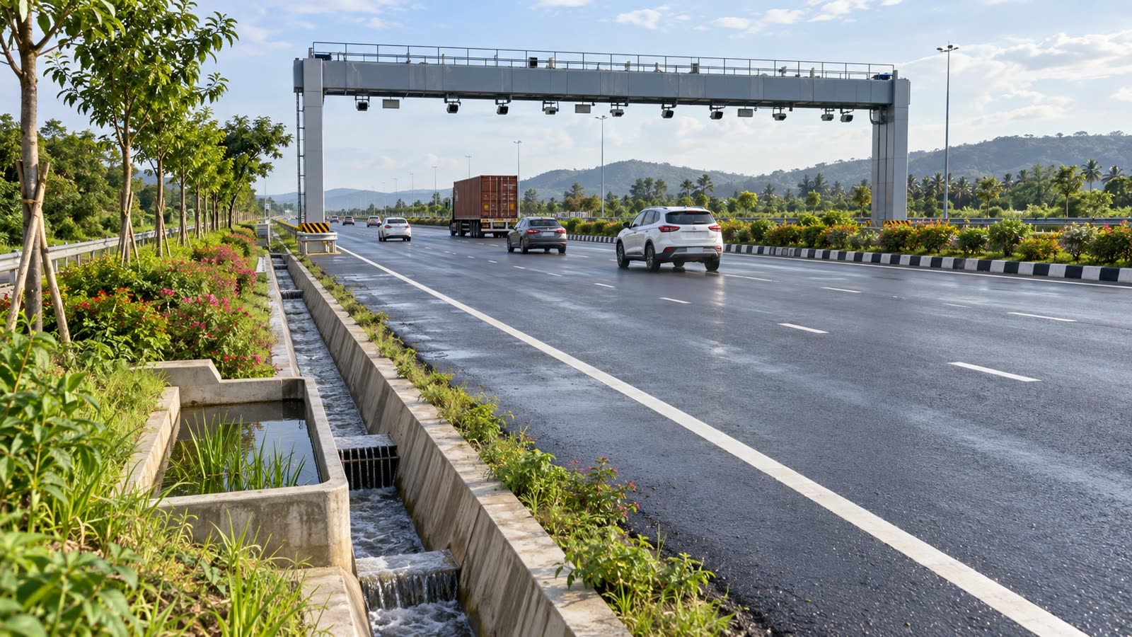
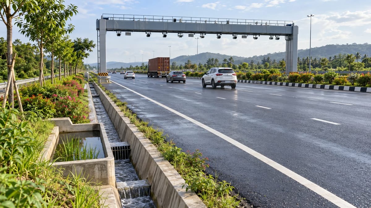 Barrier-free tolling and planned drainage on a future high-speed corridor. Credit: FuelPrice, AI-generated editorial image.
Key takeaways
- MLFF provisions are to be built into the layout of upcoming high-speed access-controlled National Highways.
- Traffic and freight projections, including toll data, will inform future corridor planning.
- Automated and Intelligent Machine-aided Construction (AI-MC) is provided for embankments and highway pavements.
- Drainage, water harvesting, plantation and drip irrigation are to be considered at the planning stage.
- The release does not announce a new toll rate or convert existing highways to barrier-free tolling immediately.
What NHAI confirmed on 24 Sep
The official release says the guidelines cover upcoming four- and six-lane greenfield and brownfield High-Speed Access-Controlled National Highways, excluding expressways. The purpose is to make these corridors better prepared for future traffic, safer to operate and more consistent to build.
Traffic planning will look beyond today’s vehicle count. NHAI says projections should account for existing and diverted traffic, expected freight growth linked to economic activity, toll data and other reliable sources. That matters because a corridor designed only around present traffic can become a bottleneck soon after opening, particularly on routes serving industrial areas, ports, airports or logistics hubs.
What the MLFF provision means for toll users
Under MLFF, vehicles pass through a tolling point without stopping at a physical booth. Cameras and electronic toll collection identify the vehicle and process the user fee as it moves through the gantry. NHAI’s earlier barrier-free tolling release describes the system as an integration of Automatic Number Plate Recognition with FASTag-based electronic toll collection.
The 24 Sep guidelines mean that future high-speed corridor layouts are expected to make room for this model. They do not mean that every toll plaza on an existing National Highway will become barrier-free at once, and they do not change the user fee for a specific route. Drivers planning a trip can still use the toll-charge calculator to estimate route charges and compare the cost of alternative corridors.
FASTag readiness remains practical preparation for any corridor using electronic toll collection. The earlier NHAI release says users need sufficient FASTag balance; if a payment fails because the tag is invalid, non-functional or underfunded, an electronic notice can follow. Those existing MLFF operating instructions are separate from the new design guidelines.
Drainage and greenery move into the project brief
The new release gives drainage a place in the Detailed Project Report rather than treating it only as a maintenance issue after construction. Project planning must identify where rainwater will go, how runoff from the highway and adjoining areas will be handled, and how water will be managed around underpasses, flyovers and depressed medians.
It also calls for water-harvesting structures in suitable loop areas and other locations without a natural outlet. For motorists, the intended benefit is more reliable movement during heavy rain and less risk of waterlogging damaging the road structure. This is a design requirement for future projects, not a guarantee that current monsoon trouble spots will be repaired by this release.
Landscaping and plantation are also to be planned around loop areas, below flyovers and in medians, with drip irrigation on medians to make water use and maintenance more efficient. The approach could make new corridors more comfortable and resilient, but survival and maintenance will determine whether the green features deliver lasting value after a road opens.
How this follows the earlier NHAI highway framework
The 24 Sep release is best read as an implementation-focused follow-up to NHAI’s 21 Sep framework. The earlier document set out traffic-based capacity and access-control principles; reporting by FuelPrice’s earlier NHAI highway-guidelines coverage explains those standards for future corridors.
That earlier framework linked expected traffic to road configuration: up to 15,000 passenger car units calls for a four-lane highway and four-lane structures; 15,000 to 25,000 calls for a four-lane highway with six-lane structures; and 25,000 to 40,000 calls for a six-lane highway with six-lane structures. The 24 Sep additions extend the same planning logic to construction technology, tolling, water management and roadside greenery.
What changes for drivers today
Nothing in this release changes the price displayed at a petrol pump, the toll charged on a named route or the access rules for a currently operating highway. It is also not an announcement that all Indian expressways will be rebuilt under the same document, because expressways are outside the stated scope.
The immediate reader takeaway is to separate today’s trip planning from the long-term infrastructure change. Before a road journey, check the latest local fuel rate through the live fuel prices hub and estimate the vehicle’s fuel spend with the fuel cost calculator. Fleet operators and frequent highway users should watch later project notifications and opening updates for the corridor-specific details that will determine when MLFF, drainage and access-control provisions become visible on the ground.
Sources
- PIB — NHAI Guidelines to Strengthen Technology Integration and Sustainability in Development of High-Speed National Highway Corridors — 24 Sep 2026
- PIB — NHAI Introduces New Guidelines for Design and Development of Access-Controlled High-Speed National Highways — 21 Sep 2026
- The Indian Express — Should a highway have four lanes or six lanes? Here is what NHAI’s new rules say — 22 Sep 2026
- The Times of India — No median cuts, surface intersections on future high-speed NH corridors: NHAI — 22 Sep 2026
- PIB — Barrier-less Tolling System to Transform Highway Travel, Reduce Pollution and Improve Efficiency — 11 May 2026